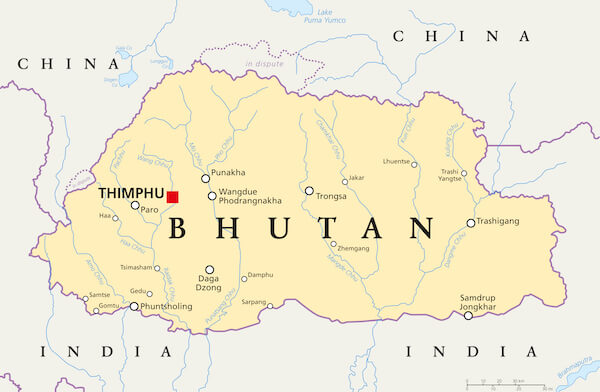
Geographical Map Of Bhutan
Bhutan? Have you ever heard of this country? When asked to foreigners, “Do you know where Bhutan is?” Many of them will have a face of confusion. A few will answer, “It’s in China?!” As funny as the answers can get, Bhutan becomes far more mysterious.
Well, for you travelers out there who want to enjoy the view of the breathtaking Himalayan mountains with a taste of “carbon-negative” air and experience roads that cut through the dense yet cleverly distributed forested mountains; Bhutan is the perfect holiday destination.
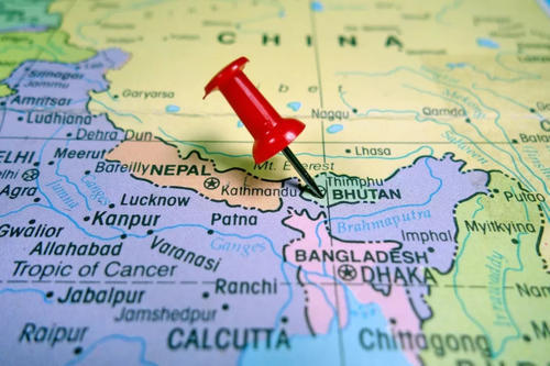
Where Is Bhutan Located?
How ironic of Bhutan, a small country with a population of not more than 800,000 comfortably lies in between two giant Asian civilizations: India and China.
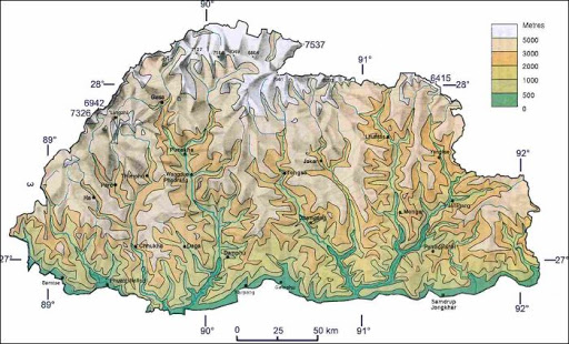
Topography Of Bhutan
Fun Fact: About 72.5% of the area in Bhutan is covered by forest, and it is a constitutional mandate to preserve 60% of the forest area forever.
From a geomorphological point of view, Bhutan can be divided into three lateral zones from south to north namely:
1. The Great Himalaya
2.The Inner Himalaya
3.The Southern Foothills
The aerial view of Bhutan and Paro valley in particular is a marvelous sight to behold. The rivers in Bhutan are larger creating wider fertile valleys such as Paro, Punakha, Thimphu, and Bumthang.
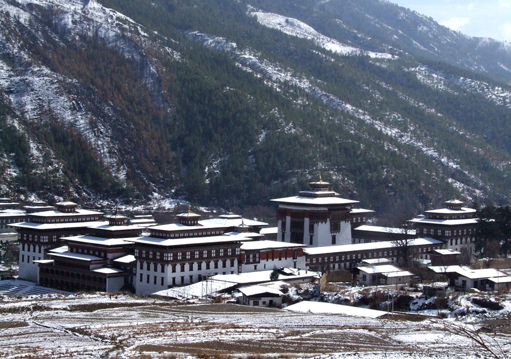
Snowfall In The Capital
The climate ranges from warm subtropical in the south to cold alpine slopes in the north. So if you are either a cold-loving or warm-loving person then Bhutan has every climatic condition you can choose from.
If you plan on going for a hike, there are various places such as Paro Taktshang, Bumdrak, Jomolhari trek, and Phajoding trek.
The rich geographical features of Bhutan such as climate and ecological zone make Bhutan a beautiful place. Bhutan is one of those countries where you can experience hot, cold, and moderate weather with its unique physiography.
WHAT ARE YOU WAITING FOR?